Sea Level Change
Contact
Since 1993, the TOPEX, Jason 1 and 2 as well as ERS1 and ENVISAT satellite radar altimeters have provided uninterrupted accurate estimates of global mean sea level. These measurements are continuously monitored for quality and calibrated against a network of tide gauges. These data allow estimation of the global mean sea level rate taking into account oceans up to 82N. As the time-series are extended with new data and better models and corrections become available these will be posted on altimetry.dk.
FIGUR (Sea level 1)
FIGUR (Sea level 1)

Plot of the Time Series.
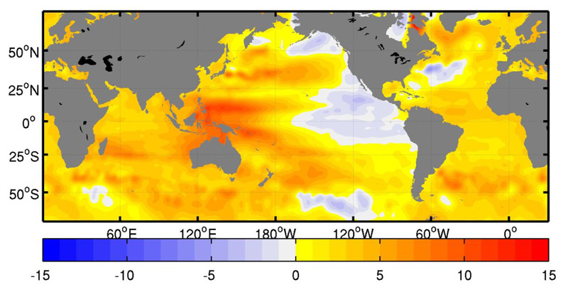
FIGUR (Sea level 2)
Reference:
Andersen, O. B. and Knudsen, P, (2009).
DNSC08 mean sea surface and mean dynamic topography models, J. Geophys. Res., doi:10.1029/2008JC005179.